Geovanni
Quickly visualize geospatial data.
Work
Interaction Design
UX/UI
Timeline
3 Days
Role
Product Designer
Introduction
Visualizing geospatial data requires scripting or work with clunky GIS apps. For this demo, I designed Geovanni; an AI-powered geospatial data analyst. Geovanni turns hours of mapping and data work into minutes.
Problems
Visualizing geospatial data requires scripting or clunky GIS software.
Complex Scripts & APIs Creating maps with APIs requires users to get their code environment setup, knowledge of the API, and familiarity with
Clunky Geographic Information Systems Apps like ArcGIS are clunky and expensive. They can't interpret ambiguous queries and require users manually edit their symbology.
Data Wrangling It takes a lot of time to manage datasets. Users spend a lot of time searching for fields and merging datasets for individual use cases.
Goal
Turn hours of mapping and data work into minutes.
The Design
Geovanni, your AI-powered geospatial data analyst.
Interpret Ambiguous Intent
Rather than tediously searching fields, ask questions and let Geovanni perform the analysis for you. Geovanni can understand your questions and find the right data.
Automatically Organize and Edit Symbology
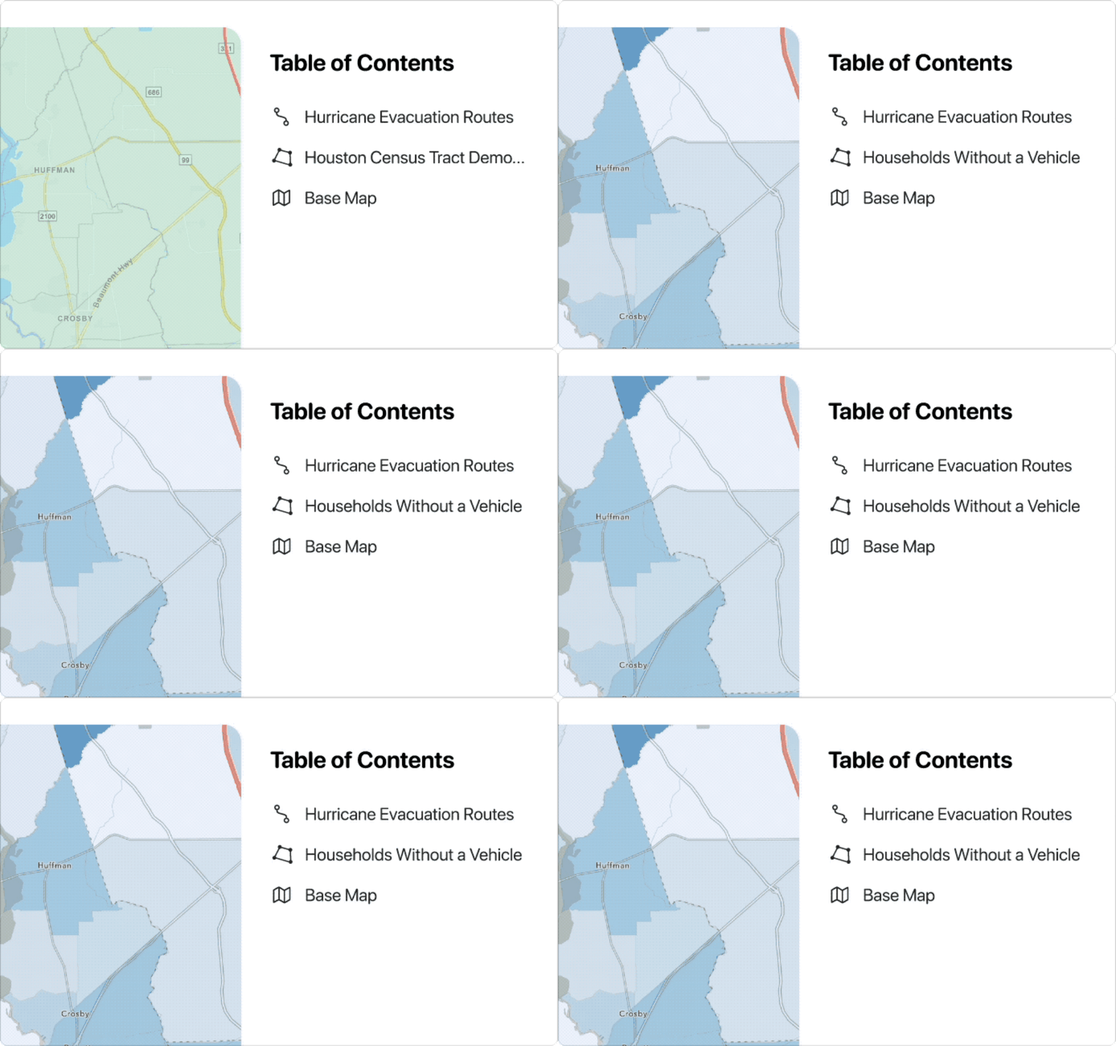
Geovanni can make your layers look great and easy to find. Geovanni can automatically style and rename your layers based on the questions you ask.
Quickly Export for Publishing
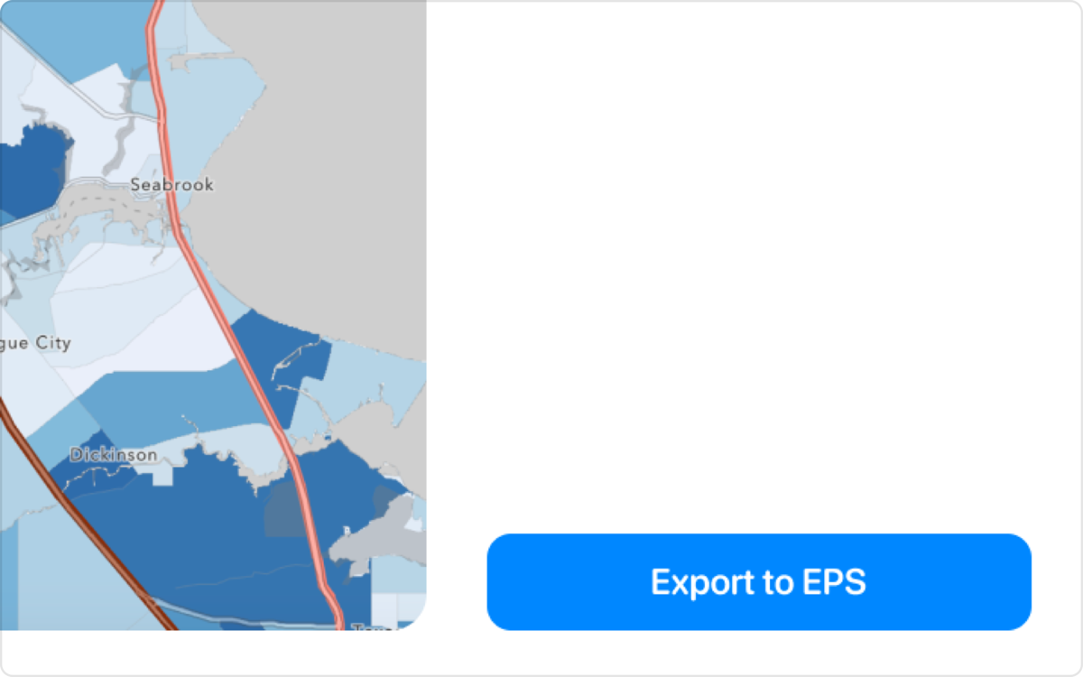
Quickly share your map with others. Export to common vector or raster format such as EPS, EMS, PNG, TIFF, and more.
Feedback
"Geovanni would help me quickly export my geopackages for publication without having to spin up an IDE or complex GIS software." Matt, Environmental Scientist
"This would be an extremely helpful tool for land developers, state departments, local municipalities, and counties. They all require different types of data." Erik, Civil Engineer
"Geovanni understands my questions and provides clear feedback on exactly which attributes it's using to create my maps." Matt, Urban Planner


